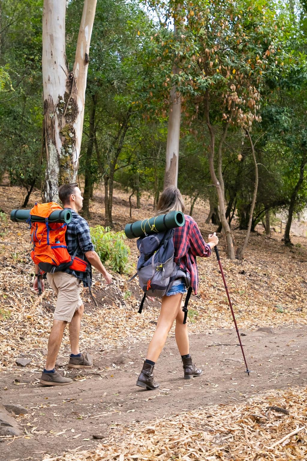
Reading Trails Like a Local Ranger
Blazes aren’t just colorful paint; they’re a language. Note color consistency, double-blaze cues for turns, and arrows at junction posts. Pause at intersections, confirm with the map, and read the terrain before committing to any direction.
Reading Trails Like a Local Ranger
Contours whisper where the trail naturally wants to go: around steep slopes, onto saddles, and across gentle benches. Tight lines mean tough climbs; broad spacing suggests breathers. Trust contours over wishful thinking when clouds or brush obscure tread.